Preserved Tower Reference
Preserved towers along the northern coast
An interpretive shoreline map and selected site notes to trace where lighthouse history still stands in place.
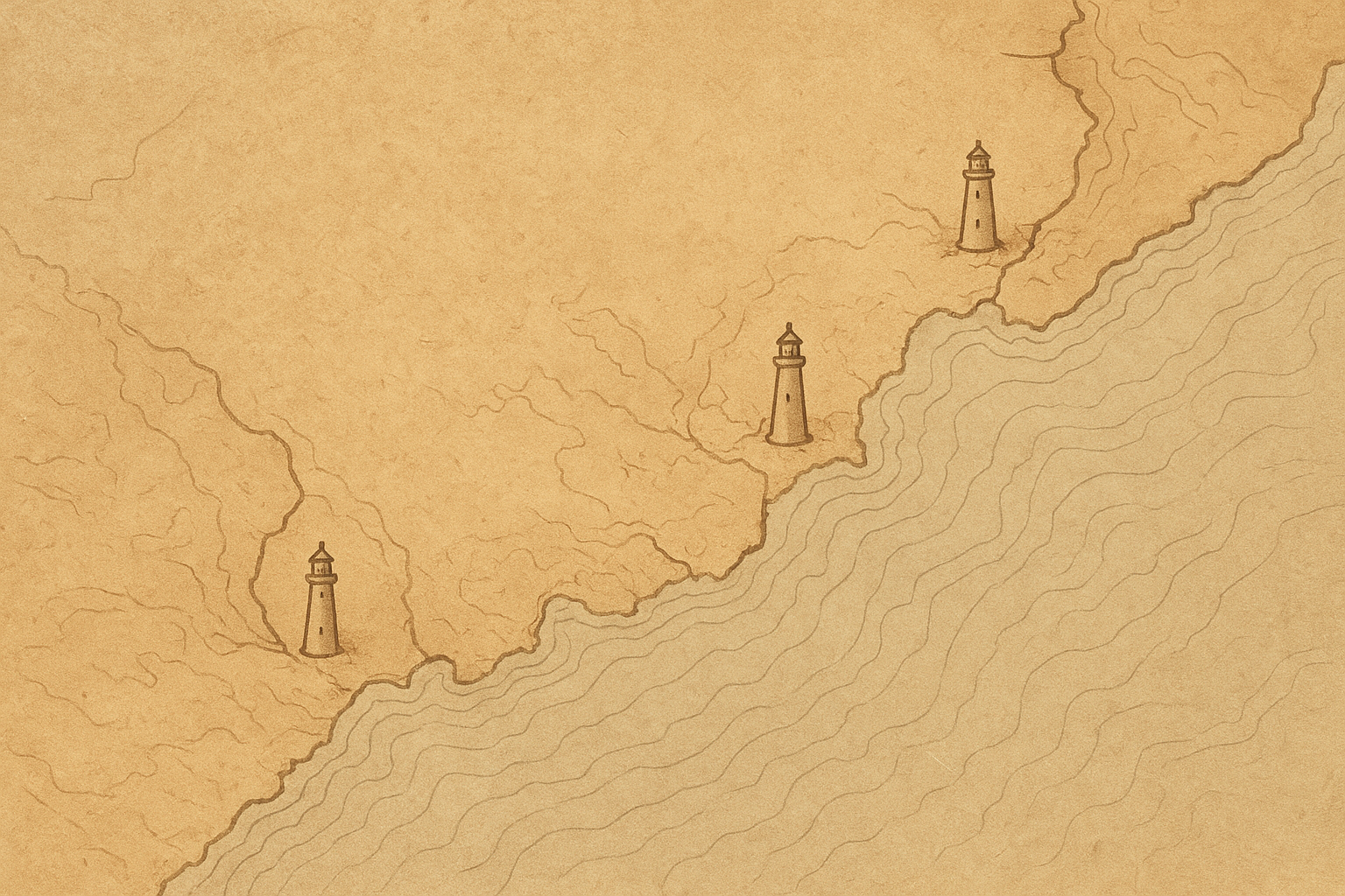
Map guidance
Visit notes
Brief context for reading the preserved towers map: what is shown, what is approximate, and how access varies by site.
What does “preserved” mean on this map?
Here, “preserved” means the structure still exists in documented form, either standing in place or conserved as a relocated historic tower.
Are all mapped lighthouses open to the public?
No. Access ranges from publicly visitable grounds to restricted or view-only sites, depending on ownership, safety limits, and preservation conditions.
How exact are the location points?
Points indicate documented tower locations at map scale; some are approximate where shoreline change or incomplete records affect exact historical placement.
What historical period does the map cover?
The map focuses on the historic lighthouse era from the nineteenth century through late twentieth-century automation, with notes where major changes occurred.
What is included on this map, and what is not?
It includes preserved lighthouse towers and key identification notes. It does not attempt to list every related building, exhibit detail, or real-time site condition.